Geomatics Department
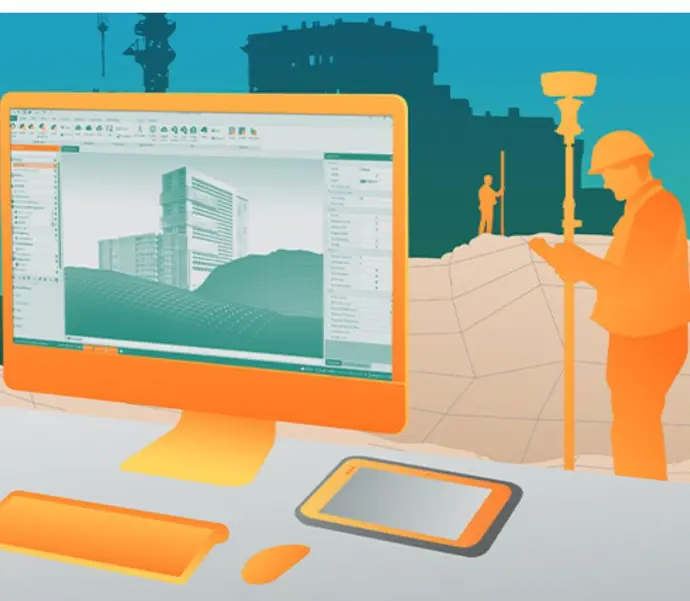
Our Geomatics Department focuses on technologies that capture, analyze, and visualize spatial data. We equip professionals in land surveying, mapping, GIS, and remote sensing with advanced tools designed for precision and efficiency.
Core Applications:
- Land mapping
- Topographic surveys
- Spatial data capture
- GIS integration
- Drone data processing.
Products Offered
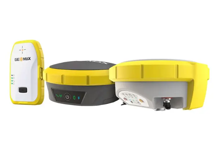
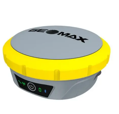
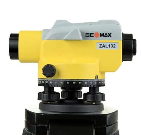
- GNSS Systems – High-precision positioning systems for mapping and geodetic control.
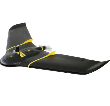
- UAVs (Drones) – Aerial platforms for survey-grade photogrammetry and remote sensing.
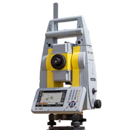
- Laser Scanners – 3D point cloud generation for terrain modeling and structural analysis.
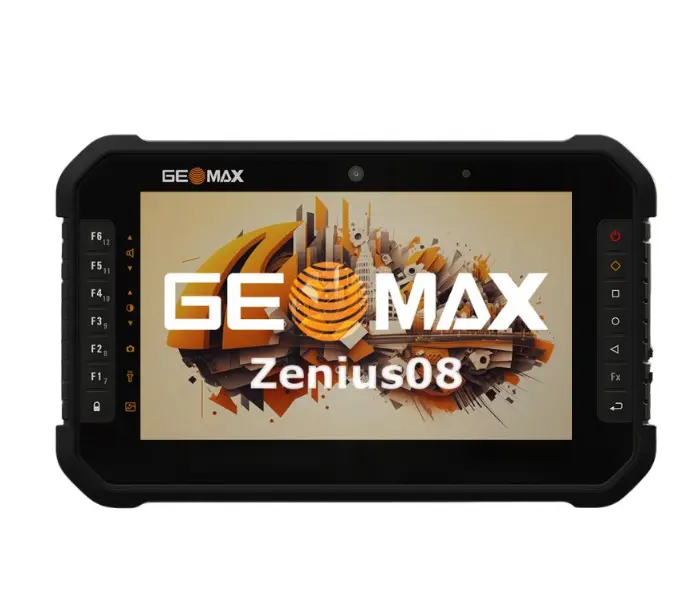
- Field Controllers – Rugged, touchscreen data collectors for GNSS and total stations.
- GIS Software & Mapping Tools – Geospatial data processing, analysis, and visualization tools.
- Accessories – Poles, tripods, batteries, brackets, and protective cases.

To install this Web App in your iPhone/iPad press
![]() and then Add to Home Screen.
and then Add to Home Screen.
